Re-creating the map to hi-res?
Moderator: Forum Moderators
Forum rules
Before posting critique in this forum, you must read the following thread:
Before posting critique in this forum, you must read the following thread:

Re-creating the map to hi-res?
I'd like feedback from whoever feels that (s)he has relevant one when it comes to the task of re-creating the BfW world map into higher resolution and into a new, supposedly improved, version. My very hypothetical question is as follows:
If we knew the map would be re-created from scratch into a higher resolution, what would you tell the working artist to change/think about/add/do differently, if anything? How exactly would the detailed specifications look like if we also want people to be able to easily use the source file to create brand new maps set in the same world for campaigns and custom content etc?
Some random questions that come to my mind already are e.g:
Spoiler:
-
thespaceinvader

- Retired Art Director
- Posts: 8414
- Joined: August 25th, 2007, 10:12 am
- Location: Oxford, UK
- Contact:
Re: Re-creating the map to hi-res?
Making a vector map might be useful, but I think the difficulty with that woould be that terrain tends to be fractal. The more you zoom in, the more detail needs to be applied, particularly when you're talking about coastlines. AFAIK this can't really be done with vector graphics, you'd need to completely redraw the maps for different scales.
I'd avoid expanding the map too much inland and to the south as well. A number of conflicting ideas exist about what is where in UMC, until such time as they are resolved by something being admitted to mainline, I think they'll remain unclear.
I like the general appearance of the current maps. It fits, and we have a solid tutorial explaining exactly how to achieve it... somewhere...
In terms of size, I'd push for 'as big as is manageable'. 3000px square is starting to push the capabilities of my computer to deal with, especially with multiple layers, and I don't really know vector graphics to any useful extent.
I don't think this is something to rush through though. If we're going to rework the map completely, it probably wants a significant amount of thought. It would maybe be worth raising on IRC and with the mailing list.
http://thespaceinvader.co.uk | http://thespaceinvader.deviantart.com
Back to work. Current projects: Catching up on commits. Picking Meridia back up. Sprite animations, many and varied.
Back to work. Current projects: Catching up on commits. Picking Meridia back up. Sprite animations, many and varied.

Re: Re-creating the map to hi-res?
I quite like the appearance of the current maps too. The bits on it, e.g. villages, are mostly pixelled, which I think would be hard to imitate in vector, even though the rest is used with interesting tools. A vector map would be good for campaigns over small areas that want to use, er, maps of small areas, though.
You mean here?thespaceinvader wrote:It fits, and we have a solid tutorial explaining exactly how to achieve it... somewhere...
"What do you mean, "a dwarvish dragonguard with marksman is overpowered"?"
Story of a Drake Outcast | The Nonsense Era
Played HttT-Underground Channels? Thought it was rubbish? Help us develop it here!
Story of a Drake Outcast | The Nonsense Era
Played HttT-Underground Channels? Thought it was rubbish? Help us develop it here!
-
thespaceinvader
- Retired Art Director
- Posts: 8414
- Joined: August 25th, 2007, 10:12 am
- Location: Oxford, UK
- Contact:
Re: Re-creating the map to hi-res?
That wasn't the one I meant, but it'll do the trick. I think the tutorial I meant is in the SVN resources branch.
http://thespaceinvader.co.uk | http://thespaceinvader.deviantart.com
Back to work. Current projects: Catching up on commits. Picking Meridia back up. Sprite animations, many and varied.
Back to work. Current projects: Catching up on commits. Picking Meridia back up. Sprite animations, many and varied.

Re: Re-creating the map to hi-res?
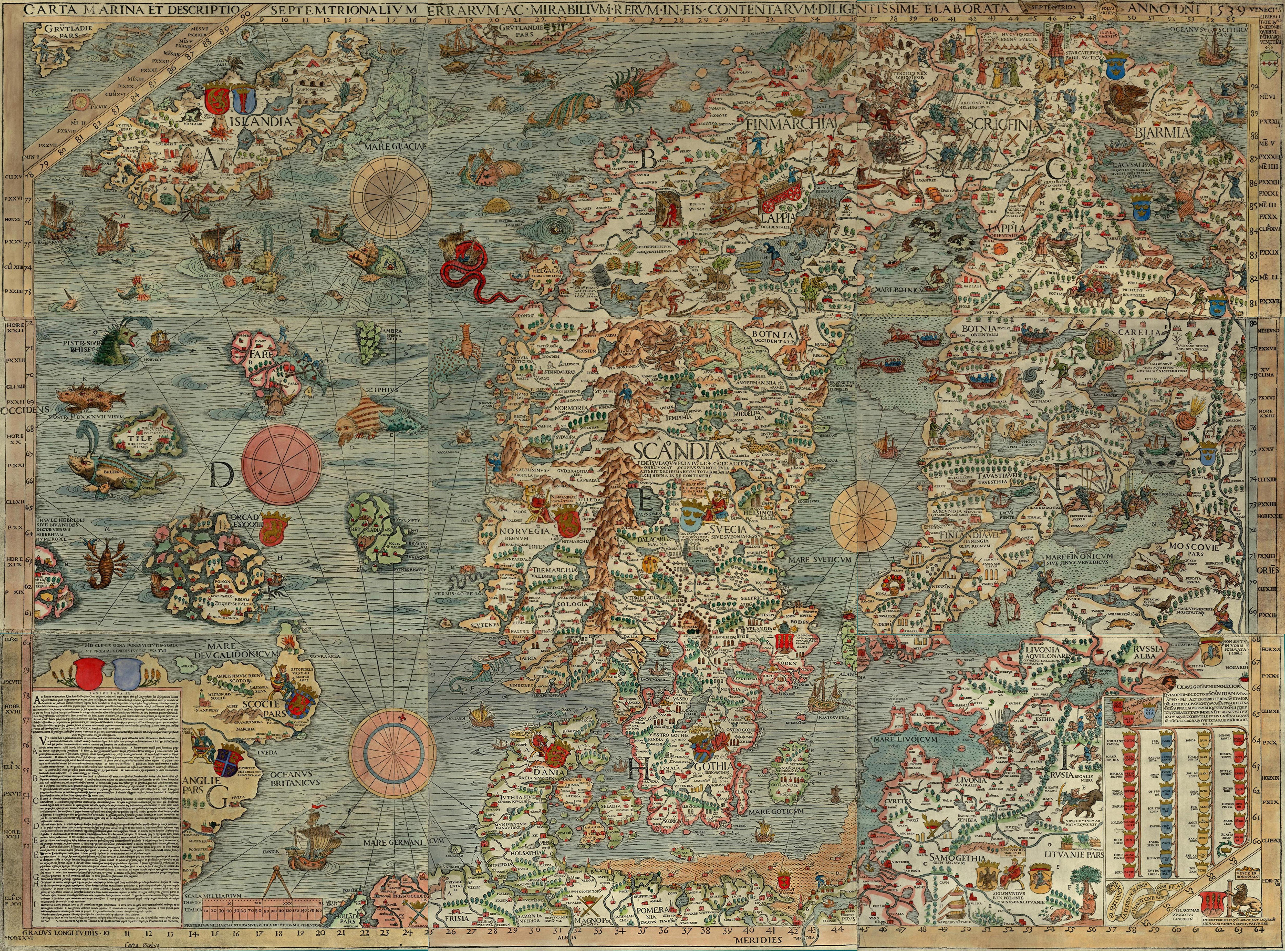
Cool. For some reason I've never been a fan of the current map, the rivers are blurry and I can't even say what the material is supposed to be (canvas, parchment, plastic?). I'd much prefer a more generic parchment map with worn edges and folds (that's a good thread to check out in any case), although that's a matter of taste, of course.
As for geography, the important aspects for mainline would be to finally be able to properly connect the Far North and the places in which The South Guard takes place with the main map. The latter is probably easy, but the Far North is trickier, since we should really bring it closer to Wesnoth for SotBE to make any sense story-wise. Since only two mainline campaigns (SotBE and DW) take place there, it should be relatively safe to do bigger changes to it. I'll try to come up with a suggestion...
As for geography, the important aspects for mainline would be to finally be able to properly connect the Far North and the places in which The South Guard takes place with the main map. The latter is probably easy, but the Far North is trickier, since we should really bring it closer to Wesnoth for SotBE to make any sense story-wise. Since only two mainline campaigns (SotBE and DW) take place there, it should be relatively safe to do bigger changes to it. I'll try to come up with a suggestion...
Re: Re-creating the map to hi-res?
Wow...
I'm with zookeeper on the old parchment map, it looks incredible!
I'm with zookeeper on the old parchment map, it looks incredible!
"What do you mean, "a dwarvish dragonguard with marksman is overpowered"?"
Story of a Drake Outcast | The Nonsense Era
Played HttT-Underground Channels? Thought it was rubbish? Help us develop it here!
Story of a Drake Outcast | The Nonsense Era
Played HttT-Underground Channels? Thought it was rubbish? Help us develop it here!
Re: Re-creating the map to hi-res?
Here's my rough Far North geography sketch. I think this meshes the Far North pretty well with the standard Wesnoth map, while allowing SotBE's story to actually make a bit of sense.
The most notable changes:
Dorset and Prestim: Dorset is a human city in SotBE. Therefore it needs to be as close to Wesnoth as possible, while still being in the north. Also, the humans must be able to plausibly attack Melmog without going through Prestim. This spot for Dorset seems like a good one, being between the territory of the Northern Alliance and the Lintanir elves with River Listra probably being a good travel route back south. SotBE takes place hundreds of years after HttT, so there's been good time for Wesnoth to build a large'ish outpost city this far.
The coastline: I don't want the Far North to be huge. I think it's still a tad bit too big in my sketch, about twice the size of Wesnoth. I also clipped off the "Wild Steppe" in the northeast since it's unused and there's still plenty of space to expand the map to the east. I'd like to make the Far North seem more like an isolated peninsula of wilderness.
There's still a lot of details I'd like to shift around a bit, but any comments about or objections to the general idea here?
- Attachments
-

Re: Re-creating the map to hi-res?
Re: Re-creating the map to hi-res?
Ok, here's my sketch of the south as well, using Deusite's one as a base.
I didn't want to make Aethenwood huge, so I clipped off most of the southwest parts of Deusite's version, although I might have overdone it somewhat. I added the desert or wasteland mostly for continuity reasons: apparently Wesnoth never expands in that direction nor does Eastern Invasion happen from the south through that area. Also, I think I placed the Black River a bit too north; it should probably turn more southwards and cross over approximately where the Heart Wood label is.
We might need a separate thread for sorting out the geographical issues.
- Attachments
-

Re: Re-creating the map to hi-res?
as far as i remember there was something about a desert in the canonical lores even..but it was supposed to be south/east of heartwood? plus a desert doesn't quite fit a swamp nearby, but that's my opinion and may be limited with some lack of knowledge
Still the parts from Deusites map work nicer if you care about my opinion - block that part of land with some water - a lake perhaps - works very well with the swamp neighbourhood and that small part of some river on Deusites piece. Round if off with the swamp and mountains/cliffs for a nice explanation why noone did just cross it and settle on the other side.
(plus a desert east of heartwood instead of north makes it nicely to my story )
)
As for cutting off the wild steppes - agreed, and top it off with forgetting about barbarians living there = more consistency with lack of human existence in this part of the world before wesnothian arrival
Still the parts from Deusites map work nicer if you care about my opinion - block that part of land with some water - a lake perhaps - works very well with the swamp neighbourhood and that small part of some river on Deusites piece. Round if off with the swamp and mountains/cliffs for a nice explanation why noone did just cross it and settle on the other side.
(plus a desert east of heartwood instead of north makes it nicely to my story
As for cutting off the wild steppes - agreed, and top it off with forgetting about barbarians living there = more consistency with lack of human existence in this part of the world before wesnothian arrival
Like cats? I've made a whole faction of them to kick ass with!
Don't like cats? I've made a whole faction of them to kick their asses! So everyone's happy :)
Felinian faction is part of the Beyond Southern Hells era
kitties need sprites! art topic here
Don't like cats? I've made a whole faction of them to kick their asses! So everyone's happy :)
Felinian faction is part of the Beyond Southern Hells era
kitties need sprites! art topic here
Re: Re-creating the map to hi-res?
If this is true, what is the swamp doing on the main map anyway instead of just EI? Anyhow, a swamp right next to desert is plain sillyAI wrote:That marsh is a pretty recent addition, possibly due to a misinterpretation of EI. (according to Turin, Mal-Ravanal *created* the swamp he had his HQ in, which reverted to being a desert afterwards)
The coastline doesn't especially matter for the Southlands, but my impression of TSG was that the area north of the Black River is pretty sizeable, enough to spend months travelling through. Kerlath needs some kind of river going through it because of the first four scenarios and I also thought that the Aethenwood must be pretty close to Westin and have a hazy border, hence why the elves can attack them so easily at the end.
I never understood how the Swamp of Desolation and the Desert of DEATH!!1!1 could exist, it doesn't seem like it could be fed by many rivers to me, or why there would be a major road next to the swamp. A marsh/marshy swamp would make more sense to me, and further away from the road. The rest of the North looks dead on to me.

Re: Re-creating the map to hi-res?
A new and bigger map would indeed be awesome!
To shortly interrupt the geography discussion and get back to the map itself:
I'm stylistically very happy with the current look. There are only some very minor quibbles:
I'm not sure if our informations would be sufficient but indicator of scale would satisfy much curiousity I have about the lands of Wesnoth.
Regarding the framing of the map, I vote against the parchment with worn edges and folds - that's just too much of a fantasy cliche! Like the ones inside bad fantasy books when I was thirteen Some tasteful border, perhaps more decorated around the corners and some whitespace around it, on parchment or paper sounds perfectly fitting to me.
For the size tsi's comment about the non-zoomable capabilities of static maps is of uttermost importance. Having differently detailed maps for different scales would be ideal but somewhat luxurious. For the overview world map I would aim for printable at A0, that's about a square metre. Or about 10.000 px square if we are talking about raster art, for vector size obviously doesn't matter. Since we are talking about known sizes of use vector doesn't seem to make much sense to me, especially since e.g. parchment-like structure effects would be much more difficult to pull off. But in the end the technique shouldn't matter much.
To shortly interrupt the geography discussion and get back to the map itself:
I'm stylistically very happy with the current look. There are only some very minor quibbles:
- The depiction of forests is closer to the one of the cities than of mountains. The trees are very symbol-like while the mountains are rather drawn in a fashion as if they were seen from above. And to me, forests should be on one level with other landscape characteristics, not with towns. Some inspiration for depiction of forest on maps.
- My second issue are the streets. Depicting them with dotted lines is very, very counter-intuitive. We have culturally learned to expect that streets are lines (and dotted lines perhaps are borders of districts or something like that).
- And I wish there was a typographic differentiation between cities and rivers.
I'm not sure if our informations would be sufficient but indicator of scale would satisfy much curiousity I have about the lands of Wesnoth.
Regarding the framing of the map, I vote against the parchment with worn edges and folds - that's just too much of a fantasy cliche! Like the ones inside bad fantasy books when I was thirteen
For the size tsi's comment about the non-zoomable capabilities of static maps is of uttermost importance. Having differently detailed maps for different scales would be ideal but somewhat luxurious. For the overview world map I would aim for printable at A0, that's about a square metre. Or about 10.000 px square if we are talking about raster art, for vector size obviously doesn't matter. Since we are talking about known sizes of use vector doesn't seem to make much sense to me, especially since e.g. parchment-like structure effects would be much more difficult to pull off. But in the end the technique shouldn't matter much.
-
Simons Mith

- Posts: 821
- Joined: January 27th, 2005, 10:46 pm
- Location: Twickenham
- Contact:
Re: Re-creating the map to hi-res?
An observation on Wesnoth weather:
I play a lot on randomly-generated maps, but presumably they can be assumed to be at least vaguely representative of typical Wesnoth terrain. Snow terrain is very common. This gives me the impression that Wesnoth is cold, rainly and northerly. Simply put, I'm far more inclined to think of Ireland, Scotland, Wales, Northern Germany, Canada or Denmark as containing representative terrain. So, maybe more of the deserts should be cold deserts/icy wastes rather than the Saharan hot desert stereotype, just as the so-called swamps should be mostly bogs, marshes or fens. The regular presence of lots of snow as well as the frequent appearance of waterlogged terrain suggests it's quite a cold and rainy part of the world, and it's also very green. It's not Siberia - we don't see permafrost anywhere - but to me it's clearly on the colder side of 'temperate'.
If the land of Wesnoth is nearer to the equator than e.g. Ireland, (and I believe this was mooted in earlier discussions), that implies the entire planet is significantly colder than Earth.
While I'm here, may I suggest making the northern Desert of Death into a barren 'dust bowl'? I'm suggesting an 'orc-made' disaster - once healthy but now very poor-quality land that had been massively over-exploited by the orcs who lived there, leading to the same consequences as the US dust bowl.
Re: Re-creating the map to hi-res?
Well, no, not really. The fact that snow keeps appearing on non-winter random maps is usually just silly, since it appears in lumps here and there even if there's hot deserts with palm trees nearby. However, your impression seems about right to me.Simons Mith wrote:An observation on Wesnoth weather:
I play a lot on randomly-generated maps, but presumably they can be assumed to be at least vaguely representative of typical Wesnoth terrain. Snow terrain is very common.
Not sure if it makes sense to attribute such a major change to orcs; my idea is more like to simply turn it into a cold desert. That'd make more sense than a hot desert with an occasional palm tree and oasis in the middle of an area which is supposed to be colder...Simons Mith wrote:While I'm here, may I suggest making the northern Desert of Death into a barren 'dust bowl'? I'm suggesting an 'orc-made' disaster - once healthy but now very poor-quality land that had been massively over-exploited by the orcs who lived there, leading to the same consequences as the US dust bowl.